Grenadier Island
About
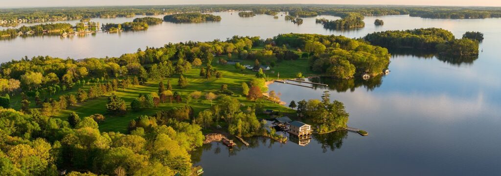
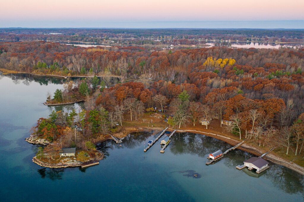
Grenadier Island is a very large and long island stretching from Goose Bay (US) to Chippewa Bay (US), in the Township of Front of Yonge, United Counties of Leeds and Grenville, Ontario. It covers about 521.3 hectares (1,288.2 acres), with 26.8 km (16.6 mi) of shoreline, and rises to 105 m (346 ft) above sea level. It has also been called Bathurst, deToniata and Taniata. The name was adopted officially on 31 December 1962.
The island is named after the British Grenadier Guards regiment. By 1818 twelve farms had been established on it. The west end became part of St. Lawrence Islands National Park in 1905, and a lighthouse was established on the southwest end in 1856.
Facts
| Location | Township of Front of Yonge, United Counties of Leeds and Grenville, Ontario, Canada |
|---|---|
| Where | A very large and long island stretching from Goose Bay (US) to Chippewa Bay (US) |
| Also known as | Bathurst, deToniata, Taniata |
| Area | 521.30 ha (1,288.16 acres) |
| Shoreline | 26.77 km (16.63 mi) |
| Highest point | 105 m (346 ft) above sea level |
| Nearest places | Baggage Island, 657 m (0.41 mi) southeast Senecal Bay (of Grenadier Island), 721 m (0.45 mi) west Manomin Island, 796 m (0.49 mi) southeast |
| Nearest town | Poole's Resort, ONT, 2.7 km (1.7 mi) north |
| Coordinates | 44.40765, -75.87248 |
| Official name record | CGNDB FBKBC |
| Official name adopted | 1962-12-31 |
| Wikipedia | Grenadier Island (Saint Lawrence River) |
Sources
- Canadian Geographical Names Database, Natural Resources Canada. Contains information licensed under the Open Government Licence – Canada.
- Area and shoreline computed from map data © OpenStreetMap contributors (ODbL).
- Elevation: Natural Resources Canada. Contains information licensed under the Open Government Licence – Canada.
- Wikipedia: Grenadier Island (Saint Lawrence River)
Photos