Chimney Island
About
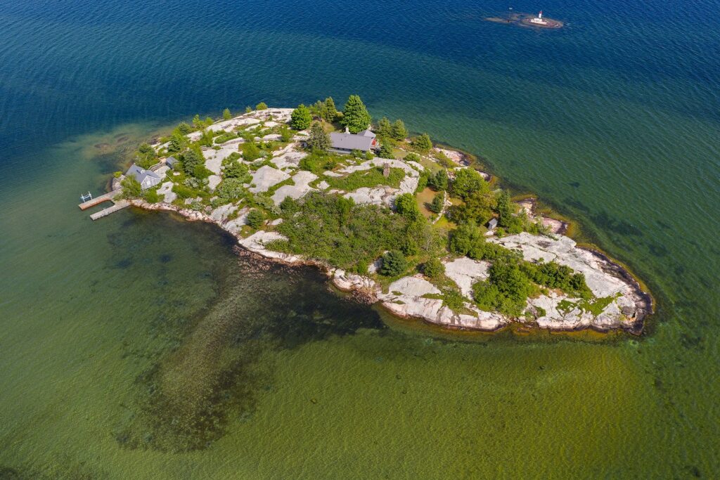
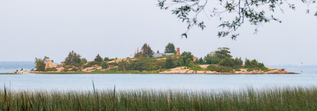
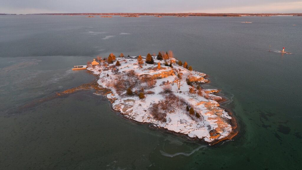
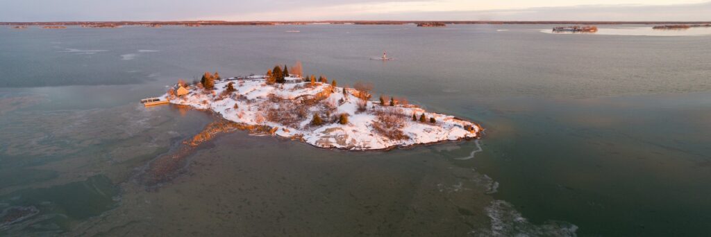
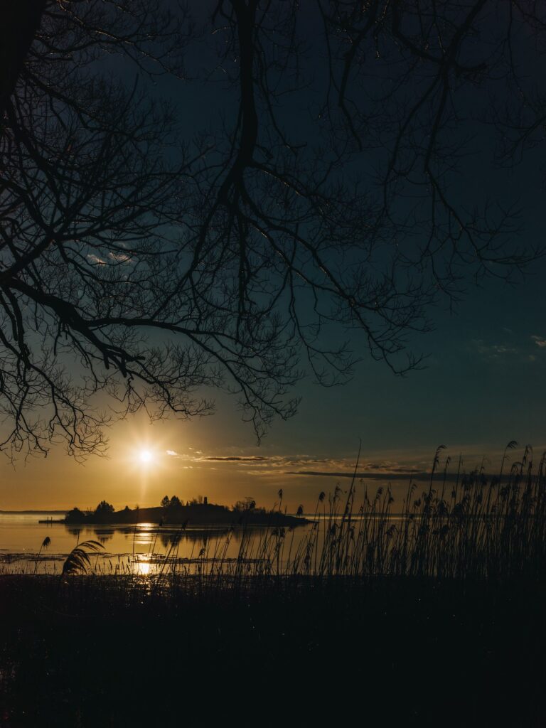
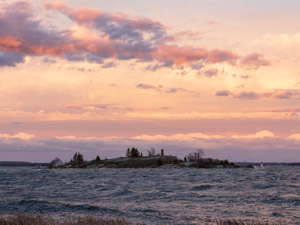
Chimney Island, also known as Bridge, is an island in the Township of Front of Yonge, United Counties of Leeds and Grenville, Ontario, between Griswold Shoals and the Canadian mainland. It covers about 1.2 hectares (2.9 acres), with 0.5 km (0.3 mi) of shoreline, and rises to about 85 m (278 ft) above sea level. Its name was officially adopted on 1974-03-08.
Facts
| Location | Township of Front of Yonge, United Counties of Leeds and Grenville, Ontario, Canada |
|---|---|
| Where | Between Griswold Shoals and the Canadian mainland |
| Also known as | Bridge |
| Area | 1.19 ha (2.94 acres) |
| Shoreline | 0.49 km (0.30 mi) |
| Highest point | 85 m (278 ft) above sea level |
| Nearest places | Cordwood Island, 805 m (0.50 mi) north Ice Island, 1.1 km (0.7 mi) south Patterson Point (of Canadian mainland), 1.1 km (0.7 mi) north |
| Nearest town | Mallorytown Landing, ONT, 2.5 km (1.6 mi) southwest |
| Coordinates | 44.46861, -75.83417 |
| Official name record | CGNDB FAQNZ |
| Official name adopted | 1974-03-08 |
Sources
- Canadian Geographical Names Database, Natural Resources Canada. Contains information licensed under the Open Government Licence – Canada.
- Area and shoreline computed from map data © OpenStreetMap contributors (ODbL).
- Elevation: Natural Resources Canada. Contains information licensed under the Open Government Licence – Canada.
Photos