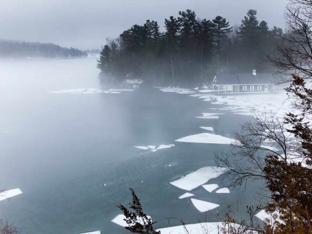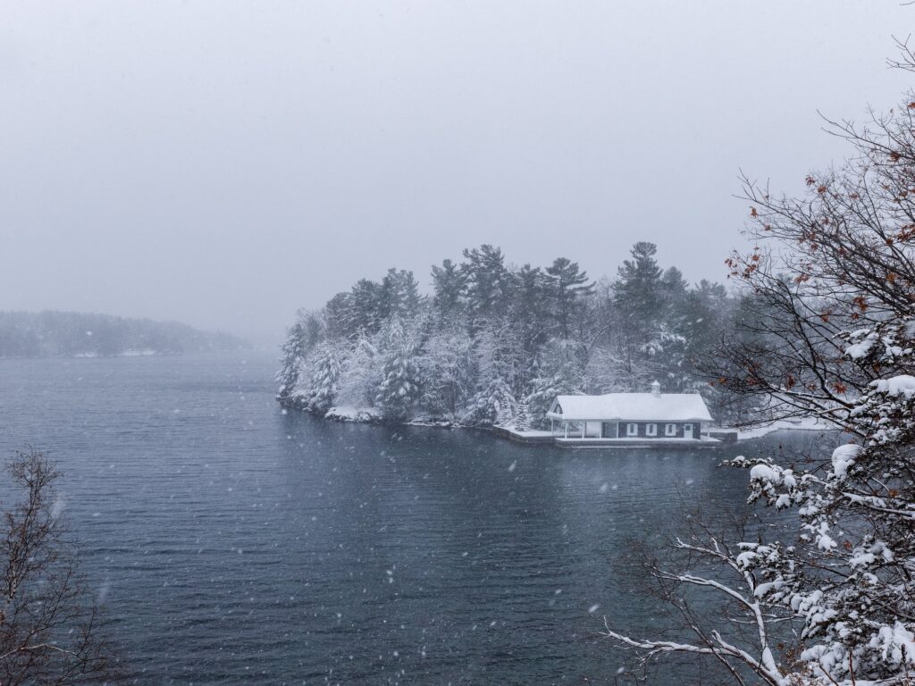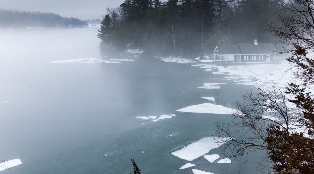
Redstone Isle (or Island)
About
Redstone Isle is an island in the Township of Leeds and the Thousand Islands, United Counties of Leeds and Grenville, Ontario. It is also known as "Journey's End". It covers about 2.1 hectares (5.3 acres), with 0.6 km (0.4 mi) of shoreline, and rises to 85 m (280 ft) above sea level.
Facts
| Location | Township of Leeds and the Thousand Islands, United Counties of Leeds and Grenville, Ontario, Canada |
|---|---|
| Also known as | Journey's End |
| Area | 2.15 ha (5.31 acres) |
| Shoreline | 0.61 km (0.38 mi) |
| Highest point | 85 m (280 ft) above sea level |
| Nearest places | Beaulieu Island, 369 m (0.23 mi) southwest Club Island, 730 m (0.45 mi) southeast Lone Tree Island, 908 m (0.56 mi) southwest |
| Nearest town | Rockport, ONT, 1.0 km (0.6 mi) northeast |
| Coordinates | 44.37456, -75.94496 |
| Official name record | CGNDB FCKII |
| Official name adopted | 1968-01-22 |
Sources
- Canadian Geographical Names Database, Natural Resources Canada. Contains information licensed under the Open Government Licence – Canada.
- Area and shoreline computed from map data © OpenStreetMap contributors (ODbL).
- Elevation: Natural Resources Canada. Contains information licensed under the Open Government Licence – Canada.
Photos